
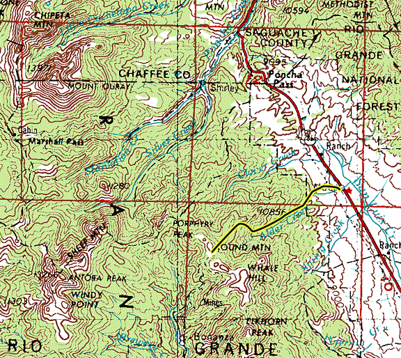
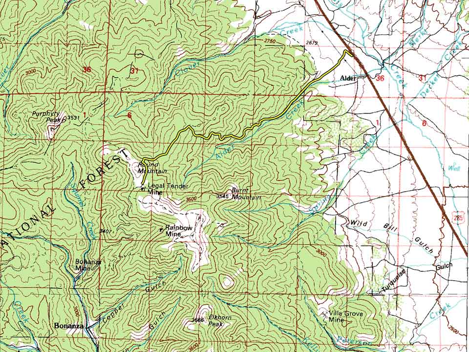


| Difficulty: | Number: | Miles: | Altitude: | Obstacles: | Time: |
|---|---|---|---|---|---|
| Easy 3 | FR 890 | 9.90 | 11,760 ft. | Steep - 2 | 2-3 hours |
Saguache Ranger District
Saguache, CO 81149
Closure:
July - May still hit snow and softer road beds early in July
August - Best
September - Best, fall colors
October - Early snows will close the upper part of the road
Accessed:
Alder got its post office in 1881 with the coming of the railroad, which remained open until 1927. A few buildings remain at the old Alder site near Alder Creek and San Luis Creek. Topo maps show abandoned buildings at the new Alder site, no on the ground confirmation has been done.
In 1880 the Bonanza Mine as well ast the Rawley mine were staked out along Kerber Creek. The town of Bonanza grew to support both mines as well as the many smaller mines along Kerber Creek. In 1912 the Rawley Mining Company drilled a tunnel under its mines to drain the upper shafts and begin mining operations again. By 1917 the Rawley Mine had attracted over 600 people to Bonanza to work the mines initiating construction of new homes in the old town. Bonanza got two schools and a motion picture theater by the 1920s. By 1938 the mines had shut down again and the population had dropped to the point that the post office was closed.
"This document is in the public domain and may be quoted. Please credit either the Bureau of Land Management and/or the author, Frederic J. Athearn."
Kerber Creek was explored during the late 1870's by San Juan prospectors, and in 1880 the Exchequer mine was located. Just below it, the Bonanza Mine also struck rich ores, and the rush was on. The towns of Bonanza and Sedgwick sprang up along Kerber Creek in 1880, as did Exchequer, Bonito, and Spook City during 1882. These places were truly boom towns, complete with hotels, saloons, schools, churches and the famous brewery at Sedgwick. This "city" was so "civilized" that it boasted a bowling alley, a billiard hall and two dance halls. Bonanza kept up with the times through two newspapers, while stage and wagon roads connected the town with the Rio Grande Railway at Villa Grove. From the boom came the Kerber Creek Mining District, founded in 1881. These little places lasted into the 1890's, when silver prices fell. West of Kerber Creek, mining settlements, such as Sky City, Bowenton, and Biedell arose and died within a ten-year period. These places, unlike Kerber Creek, were not as rich or accessible as that mining district; therefore, they were not major mining centers in the valley.
Kenneth Jessen, Ghost Towns Colorado Style Vol 3, J. V. Publications, Loveland, 2001, p. 129-130
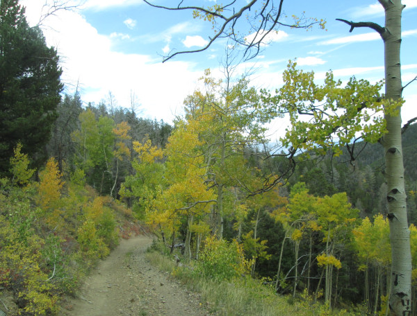 |
Lower section photo by: Adam M |
|---|
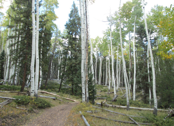 |
Larger aspen trees photo by: Adam M |
|---|
As the gulch narrows the road heads to the north away from the creek and begins to climb a spread out series of switchbacks ascending 1,500 feet in about a mile of traveling. This is where you will climb some steep sections to make the switchbacks.
Along the way you will pass a few tailing piles and one mine with an intact headframe.
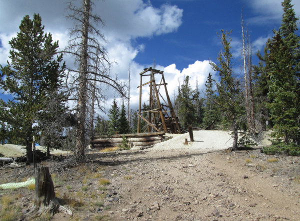 |
Mine photo by: Adam M |
|---|
The forest is dense here and views are just of the forest around you.
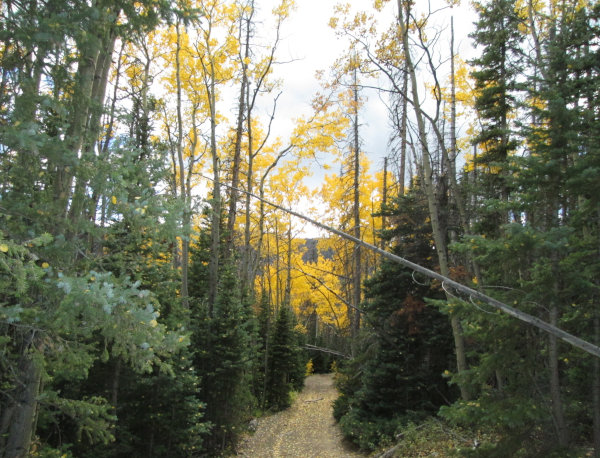 |
Thick forest photo by: Adam M |
|---|
After reaching the flatter ground above you will come to an intersection. The road to your right heads north, continue climbing up to the west staying on FR890. Forest Road 890 is the only road that is legal to drive based on the Saguache Ranger District Motor Vehicle Use Map (MVUM).
After three quarters of a mile you will pass the Colorado Belle Mine.
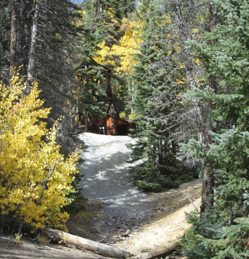 |
Mine photo by: Adam M |
|---|
After a half mile from the Colorado Belle you will reach the saddle between Round Mountain and Mount Manitou with the Shawmut Mine at the base of Round Mountain to the north and the Legal Tender Mine at the base of Mount Manitou to the south.
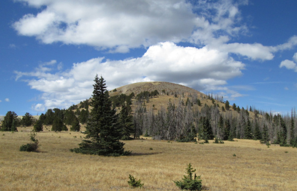 |
Round Mountain photo by: Adam M |
|---|
At the intersection below Round Mountain continue straight ahead. The right turn will take you to the Shawmut Mine and then on up a sheep rocky climb to the top of Round Mountain. The left will take you to the top of a ridge and then on to Whale Hill. After crossing the open saddle you will head back into the forest. You will come to another intersection with a road on the left, stay to the right. As you continue through the forest you will drop down four switchbacks, at the fifth switchback take the left off of the main road a short distance to the Antoro Tunnel Mine.
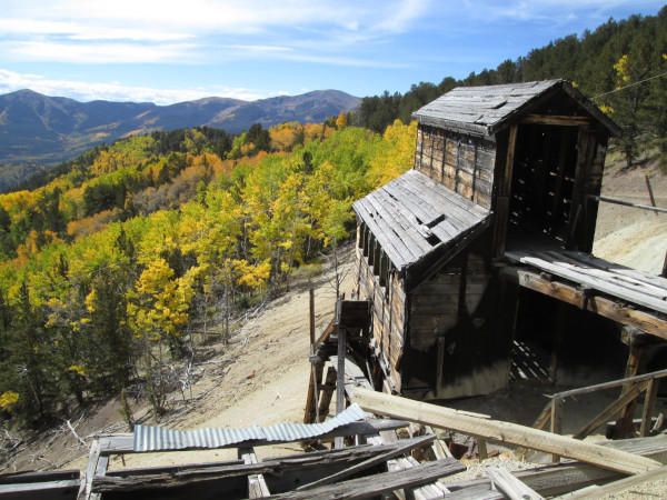 |
Antoro Tunnel Mine photo by: Adam M |
|---|
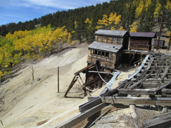 |
Antoro Tunnel Mine photo by: Adam M |
|---|
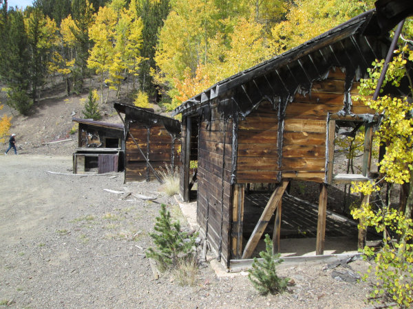 |
Antoro Tunnel Mine photo by: Adam M |
|---|
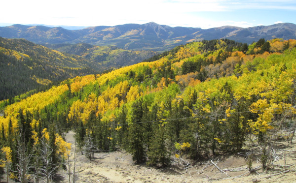 |
View from the Antoro Tunnel Mine photo by: Adam M |
|---|
Head back out to the switchback and continue down hill. You will do two more switchbacks, at the second are the ramians of the mine in Rawley Gulch, which has some older remains and some newer building along the upper section. Head back to the switchback and you will follow Rawley Gulch toward Bonanza.
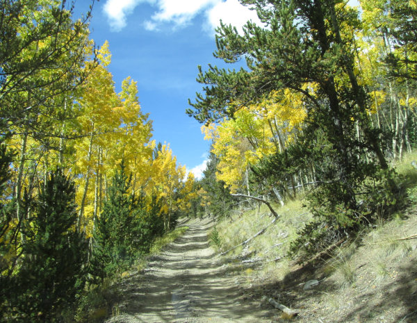 |
Heading down Rawley Gulch photo by: Adam M |
|---|
You will come to a small saddle where the road curves to cross the saddle. Here take a left onto a road that will head down into Rawley Gulch. The road to the right will take to you Squirrel Gulch.
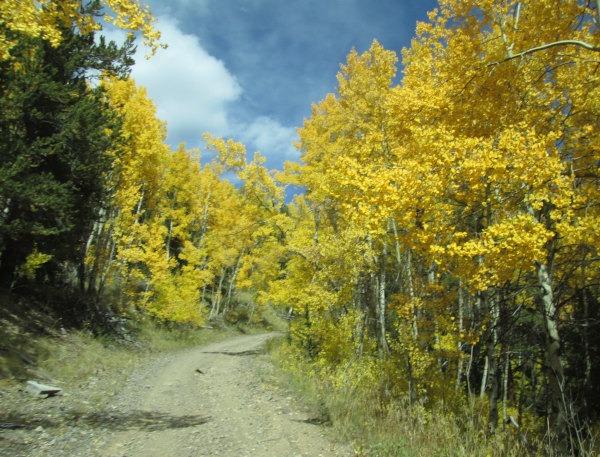 |
Close to the small saddle photo by: Adam M |
|---|
As you get down to the creek you will come to another switchback, here take a sharp right and continue to follow the creek. The left will cross the creek and head over to Whale Hill.
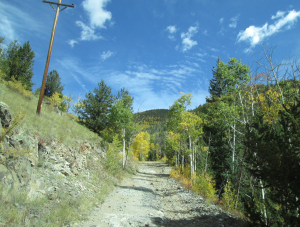 |
Following Rawley Creek photo by: Adam M |
|---|
As you come out of the gulch you will be at the site of Exchequer where there is a small cabin and cemetary. At the main road you can go left to Bonanaza, or right toward Squirrel Creek and Toll Road Gulch.