| Difficulty: | Number: | Miles: | Altitude: | Obstacles: | Time: |
|---|---|---|---|---|---|
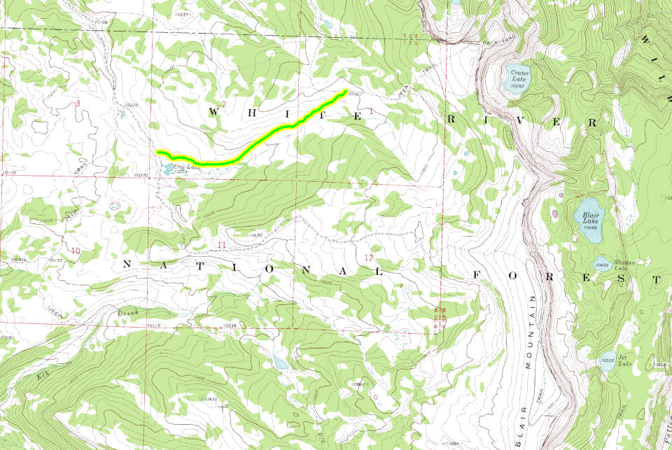
| Easy 3 | FR601.2F | 1.50 | 10,592 ft. | NA | 1/2 hour |
Closure:
July - Best
August - Best
September - Best
October - Early snows possible
Accessed:
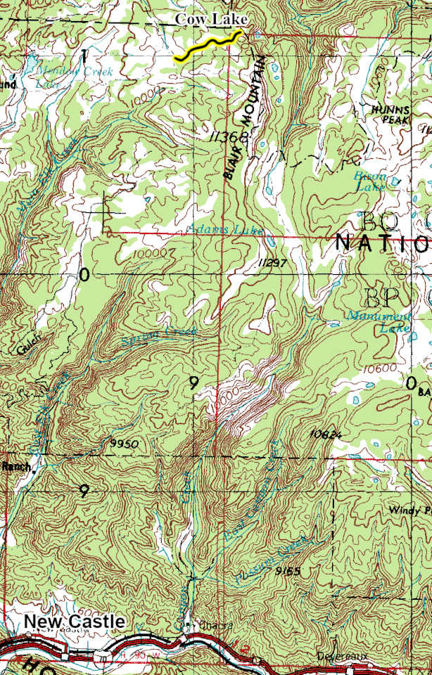
From Buford, CO on County Road 8 head toward New Castle Buford Road for 2.3 miles. Turn left onto County Road 10 and go 1.5 miles. Turn right onto New Castle Buford Road and go 14.3 miles. Turn left onto FR 601 and go 3.3 miles. Turn left onto FR 601 and go 4.1 miles. Turn right onto Forest Road 601 and go 2.3 miles. Turn left onto Forest Road 601.2F.
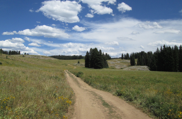 |
Looking east from the start at FR601 photo by: Adam M |
|---|
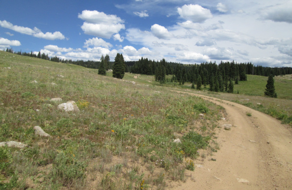
The road will follow one of the small drainages that feed Cow Lake as it crosses a large open meadow with pine forests off in the distance.
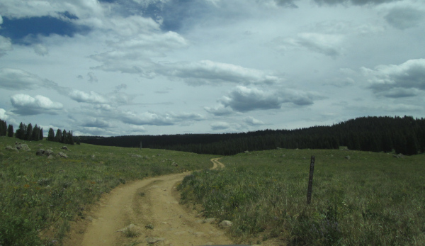 |
Center section photo by: Adam M |
|---|
As you progress up the little valley you will pass small rocky outcrops with stray boulders laying around.
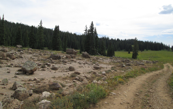 |
Interesting geology photo by: Adam M |
|---|
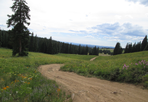
The two track road continues toward Bench, FR647.
 |
Near the east end photo by: Adam M |
|---|
 |
Looking back down the valley photo by: Adam M |
|---|
You will come to an intersection with the Bench, FR647, 4WD road. Taking the right onto Bench and going about a half mile you will come to a small parking area which is the Blair Lake tralhead. Blair Lake Trail is a hiking trail that climbs up a sloping ridge to a point overlooking the canyon of the South Fork of the White River with Crater Lake below. There is a switchback hiking trail down to Crater Lake from the point. The hiking trail will continue south along the imposing east face of Blair Mountain passing Blair, Shadow, and Jet Lakes.