| Difficulty: | Number: | Miles: | Altitude: | Obstacles: | Time: |
|---|---|---|---|---|---|
| Moderate 5 | FR 409 | 13.15 | 8,400 to 10,600 ft. | Rocky - 5 Mud - 2 |
3-4 hours |
Hahns Peak / Bears Ears Ranger District
Steamboat Springs, CO 80487-9315
Closure:
July - Best
August - Start of fall colors, best
September - Best fall colors
Accessed:
Farwell Mountain, FT1203 - Motorcycle, Mountain Bike, Pack and Saddle, Hike
Main Fork, FT1152 - ATV, Motorcycle, Mountain Bike, Pack and Saddle, Hike
Hinman Creek, FT1177 - Mountain Bike, Pack and Saddle, Hike
From Steamboat Springs, CO head northwest on Lincoln Ave toward 7th Street for 1.7 miles. Turn right onto County Rd 129/Elk River Road and continue to follow County Rd 129 for 24.5 miles. Turn right onto Hahns Peaks Main Street and go 0.4 miles. Turn right to stay on Main Street and go 0.2 miles. Continue onto High Street for 0.5 miles. Take a slight left onto Forest Service Rd 409, the Farwell Mountain 4WD road.
Start from the east side.
From Steamboat Springs, CO head northwest on Lincoln Ave toward 7th Street for 1.7 miles. Turn right onto County Rd 129/Elk River Road and continue to follow County Rd 129 for 17.7 miles. Turn right onto Seedhouse Road and go 4.7 miles. Continue straight to stay on Seedhouse Road and go 0.8 miles. Turn left onto Forest Road 400/Seedhouse Road and go 3.7 miles. Turn left onto Forest Road 433 and go 3.8 miles. Slight left onto Forest Road 44 and go 1.7 miles. Continue straight onto Forest Road 409.
Farwell's camp was in Way Gulch, and often referred to as "Bug Town" by the miners because all of the big bugs from back east lived there when they visited. It was northeast of the town of Hahns Peak. After the flume fed the "giants" that washed the gravel from String Ridge the sluices were checked for the gold that would be lodged in the riffles, but no gold was found. Other areas on String ridge were washed out, and still no gold. Farwell cut his losses. After spending $200,000 on the camp and hydrolics, in 1879 he sold the whole investment to a Rawlins, Wyoming banker named James France for $32,000, the value of the merchandise in the company store, and headed back to Chicago. The town was abandonded by 1881 and many of the buildings were moved to Hahns Peak, the town. A forest fire took care of the rest.
Rober McIntosh stayed, convinced that there was gold in the area around Poverty Bar. He obtained leases on some placer mines at Poverty Bar and a lease on the String Ridge flume, which he extended a mile and a half around the base of Hahn's Peak. In two months he had washed out $30,000 worth of gold. McIntosh subleased the operation to the firm Cody & Hinman, which after six weeks of work at Nugget Cut on Poverty Bar recovered $60,000 worth of gold.
Most likely Farwell Mountain is named for Mr. Farwell.
Burroughs, John Where the Old West stayed Young William Morrow and Company, New York, Library of Congress 62-15756, 1962, Print.
Kenneth Jessen, Ghost Towns Colorado Style, Volume One - Northern Region, J.V. Publications LLC, 1998.
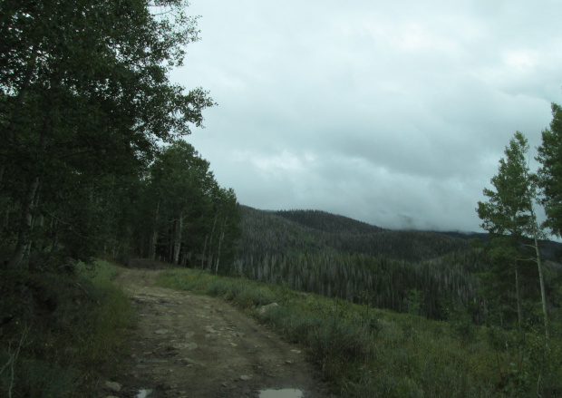 |
West end of road photo by: Adam M |
|---|
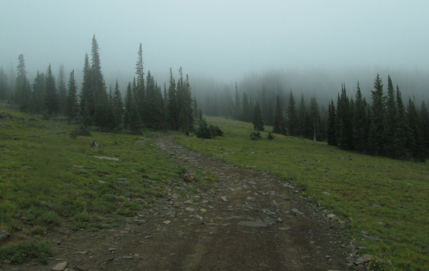
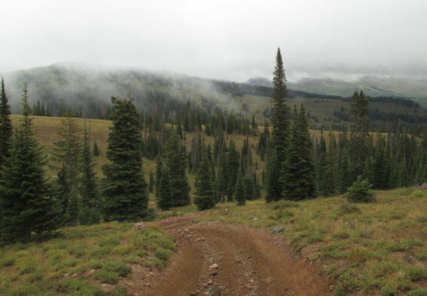
You will continue through the forest slowly climbing up along the ridge. The road will turn more to the southeast and then come out into a more open area.
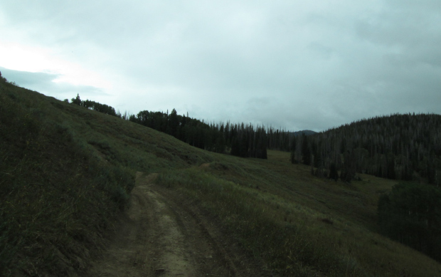 |
Heading southeast photo by: Adam M |
|---|
You will pass a dispersed campsite on the left, and then another on the left just before coming around the head of a small gulch.
 |
Open area photo by: Adam M |
|---|
 |
Looking toward small gulch photo by: Adam M |
|---|
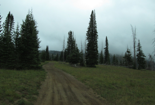
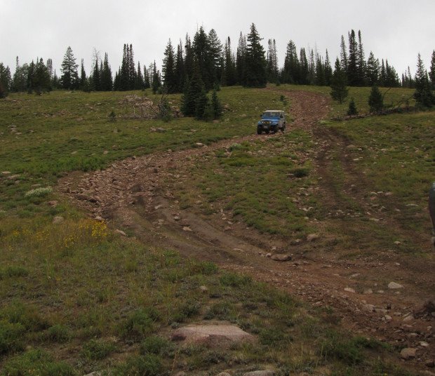
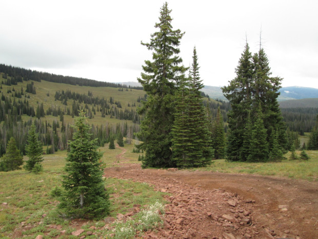
The road will continue to climb to the southeast and you will cross into another open area. Here there will be a small rough section of the road.
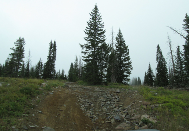 |
Rocky section photo by: Adam M |
|---|
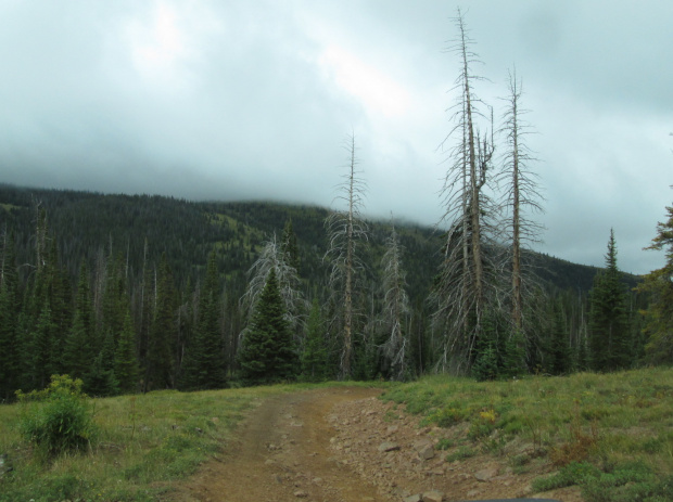
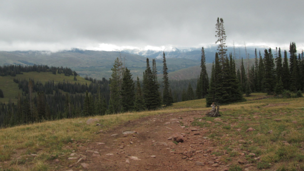
You will now make the last gradual climb up toward the top of Farwell Mountain. As you come out into an open area over the last rise you will have Farwell Mountain straight ahead. It is a broad open area. There will be a spur road on the right FR409.2B, which goes out to a view spot just to the west of Farwell Mountain's highest point. Staying to the left you will head east and shortly come to another spur road, FR409.2A, which heads down toward Farwell Lake on the east side of Farwell Mountain. Stay left again and continue around heading north.
 |
Top of Farwell Mountain on a rainy day photo by: Adam M |
|---|
You will head down the north side of Farwell Mountain now through small open areas and then thicker forested areas. There will be a few rocky sections and narrow spots through the trees.
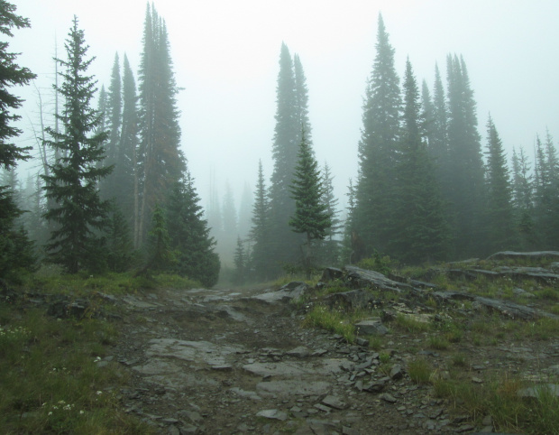 |
Rocky section photo by: Adam M |
|---|
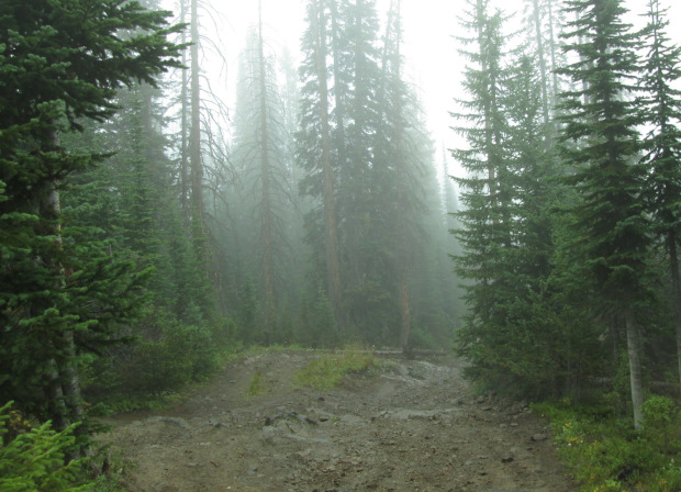 |
Forested section photo by: Adam M |
|---|
There will be a larger rocky down hill section before the road heads around a larger open meadow.
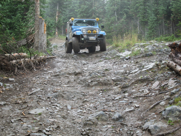 |
Paula K on rocky section photo by: Adam M |
|---|
 |
Through the forest photo by: Adam M |
|---|
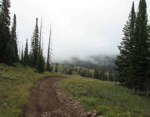
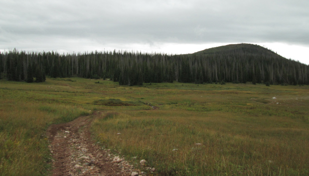
You will come out into a more open area as the road turns toward the east.
 |
Open area photo by: Adam M |
|---|
There will be another rocky downhill section as the road continues to head toward Hinman Creek. After droping down another rough area you will cross Hinman Creek and then pass motorized trail FT1203 on your left.
 |
Paula K on rocky downhill photo by: Adam M |
|---|
 |
Looking east photo by: Adam M |
|---|
 |
Open meadow photo by: Adam M |
|---|
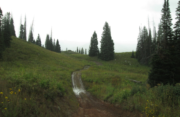
The road will head down the east side of Hinman Creek and you will have a small mud hole to navigate, this was on a rainy day, and then a second one in a wide open meadow. The road will turn east again and climb out of the valley.
 |
Along Hinman Creek photo by: Adam M |
|---|
 |
Climbing out of Hinman Creek valley photo by: Adam M |
|---|
The road will continue as a two track through open slopes and small forested areas as it heads toward Trail Creek. You will pass non-motorized trail FT1177 on your right before coming to a sharp left turn. There is suppose to be a short spur road on the right, FR409.2C, but it appears to have re-vegetated. Make the left and head toward the Main Fork trailhead, also known as Diamond Park. There will be a small parking area for motorized trail FT1152. This is where FR409 ends and Stiletto, FR44, begins.