| Difficulty: | Number: | Miles: | Altitude: | Obstacles: | Time: |
|---|---|---|---|---|---|
| Easy 4 | FR461 | 3.54 | 8,540 to 9,960 ft. | Steep Hill | 1-2 hours |
Eagle-Holy Cross Ranger District
Minturn, CO 81645
Closure:
July - Best
August - Best
September - Best
October - Best
Accessed:
 |
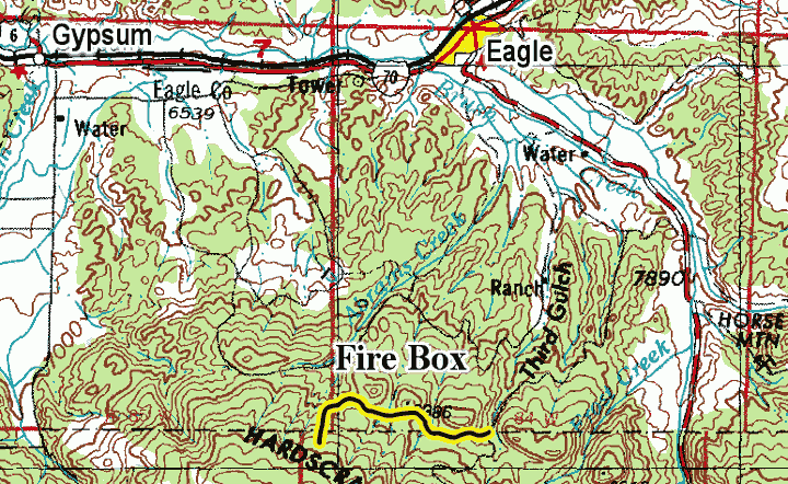
Looking east. The Seven Hermits on the left. photo by: Adam M |
|---|
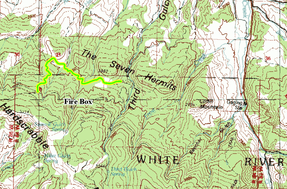
At the west end of the meadow you will be leaving Forest Service managed lands and entering BLM managed lands. The road is shown on the Forest Service MVUM as being under their jurisdiction. The road will remain a two track and head downhill through the forest coming out into another small meadow along Hernage Creek. You will pass through a fence, then cross the creek and head north into the aspen trees. As you come out of the trees into another meadow you will come to a large Y intersection. The road on the right is BLM8380 road, which follows Hernage Creek through The Seven Hermits to the north.
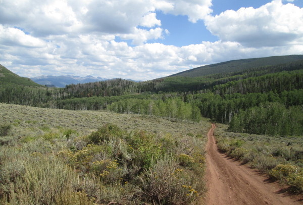 |
Crossing open meadow photo by: Adam M |
|---|
 |
Open area along Hernage Creek photo by: Adam M |
|---|
The road on the left is the Fire Box road, and BLM8380I, which crosses the open meadow and then enters the trees and heads south along a ridge. The road will be narrower as it climbs up the side of Hardscrabble Mountain. At the first sweeping switchback you will cross back onto Forest Service managed lands. The road will do a few more sweeping switchbacks as you continue to gain altitude.
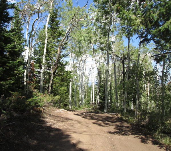 |
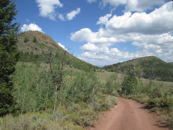
Aspen at west end of road photo by: Adam M |
|---|
The road will now get steeper as it makes its climb and the aspen start to give way to pine trees. The pines will thin a bit and then you will come to an intersection with Sawmill, FR451. Go left hear to head back to FR413.