Flag Divide
 |
| Maps: |


|
| USGS 7.5' Map: |
Pearl Pass |
| Statistics: |
| Difficulty: |
Number: |
Miles: |
Altitude: |
Obstacles: |
Time: |
| Easy 3 |
FR 759.1E |
4.35 |
11,146 to 11,363 ft. |
Steep Hill |
2-3 hours |
|
| County: |
Gunnison |
| Adopted by: |
|
|
|
| Managed by: |
Gunnison National Forest,
Gunnison Ranger District |
216 N. Colorado
Gunnison, CO 81230 |
(970)641-0471 |
| Summary: |
Flag Divide is a scenic 4WD road that along a high ridge of Italian Mountain
|
| Attractions: |
Scenery
|
Seasonal
Closure: |
Natural - Closed by snow
|
| Best Time: |
June - May be open late
July - Best
August - Best
September - Best
|
Summer
Activities: |
Bear Creek Trail, FT415 - Hike, Horseback, Mountain Bike, Motorcycle
Flag Creek Trail, FT422 - Hike, Horseback, Mountain Bike, Motorcycle
Waterfall Creek Trail, FT555 - Hike, Horseback, Mountain Bike, Motorcycle
Reno Ridge Trail, FT607 - Hike, Horseback, Mountain Bike, Motorcycle
Cement Creek Trail, FT612 - Hike, Horseback, Mountain Bike, Motorcycle
FT620 - Hike, Horseback, Mountain Bike, Motorcycle, ATV
|
| Camping: |
Flag Divide has one small campsite in a group of trees about a half mile from the intersection with Italian Creek, FR759. |
| Base Camp: |
This would be a good area to base camp and explore Italian Creek, FR759, Spring Creek, FR744, and Reno Divide, FT642
|
| Fall Colors: |
From Flag Divide you will have views of aspen groves in the valleys of Cement Creek and toward Spring Creek. |
Winter
Activities: |
|
| Navigation: |
From Almont, CO head northwest on County Rd 742 toward CO-135 N for 125 feet. Turn right onto CO-135 N and go 10.4 miles. Turn right onto Cement Creek Rd and go 0.7 miles. Turn right toward County Rd 740C and go 0.7 miles. Turn right onto County Rd 740C and go 0.7 miles. Turn left toward County Rd 740 and go 207 feet. Turn right onto County Rd 740 and go 7.0 miles. Turn right onto the Italian Creek 4WD road and climb to the saddle. At the fence line the road to the right is the Flag Divide 4WD road.
|
| History: |
|
| Description: |
Flad Divide is a short road that runs along a high ridge between a saddle on Italian Mountain and the start of FT607. I drove it from its southern end where it connects with theSpring Creek road, just north of the transition to FT607. The road has some great views to the west of the Cement Creek valley, Teocalli and Pearl Mountain northeast of Crested Butte.
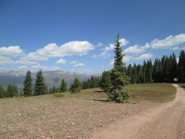 |
Flad Divide southern end looking north
photo by:
Adam M |
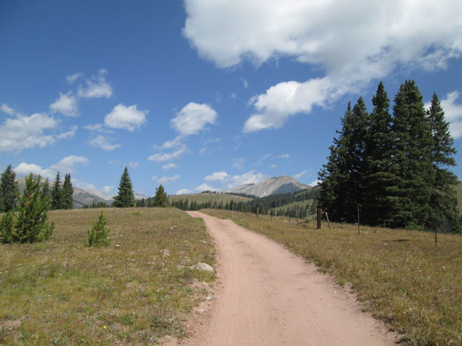
The road is an easy two track that runs along an open ridge with few trees. There will be sections that go through heavier sections of trees which is where some challenge exist in navigating some tight areas. There will be an old fence line to the east that the road seems to follow.
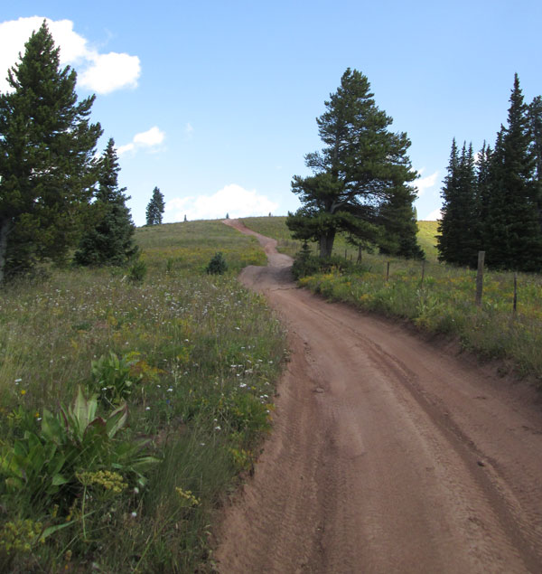 |
Open area along fence line
photo by:
Adam M |
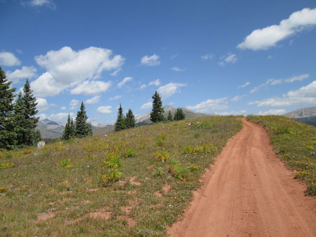 |
Climb to one of the higher veiw points
photo by:
Adam M |
As you get close to the northern end of the road you will climb to the highest view point. From here there are great views of the surrounding mountains in all directions.
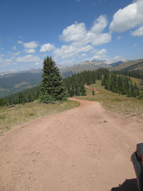 |
View down from the highest view point to the saddle
photo by:
Adam M |
The road descends quiclky to the saddle and ties in with Italian Creek, FR759.
 |
Coming to the saddle below Italian Mountain
photo by:
Adam M |
|
|
Data updated - January 31, 2015
4WD Road driven - September 1, 2014
Copyright 4X4Explore.com - 2000-2015 |