| Difficulty: | Number: | Miles: | Altitude: | Obstacles: | Time: |
|---|---|---|---|---|---|
| 2 | FR375 | 7.14 | 8,320 to 9,400 ft. | NA | 1-2 hours |
Closure:
July - Best
August - Best
September - Best
October - Early snows possible
Tumble Creek, FT617 - Hiking, Horseback, Mountain Bike
Vitamin B Trail - Hike, Mountain Bike
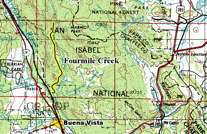
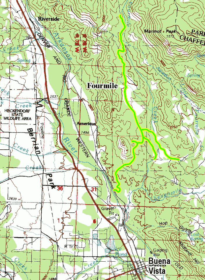
After a short distance you will come to a road on the right. This is the Lenhardy Cutoff, FR376/CR376, road. There are a few dispersed campsites at the start of this road. Continue on passing another dispersed campsite on the right side of the road. The road will pass through some large rock outcrops with a few dispersed campsites around the base. The road will continue to climb passing through the forest. There will be a few more dispersed campsites on the right. You will come to a large intersection. The road on the left is FR375E, a short spur road that goes to two dispersed campsites.
Continue to the right and after just over a quarter of a mile you will come to another intersection. The road to the right is FR375C, another short spur road that has dispersed campsites along its length. The spur will end at the old Sailor Homestead, and the trailhead for FT1415, along the side of Fourmile Creek. Continue to the left on the main road which will come to another intersection. The road to the right is FR375A, another spur road that follows a drainage down to Fourmile Creek, crosses the creek, and then connects with Little Fourmile, FR373. Continue to the left up the Fourmile Creek valley for over a mile and a quarter. You will pass a short spur road on the right that goes to a campsite. Past this spur the road will drop down to cross a small drainage then come to a private drive on the right, followed by a spur road to the right, FR375B, that quickly ends at a turnaround.
Stay to the left. The road will now head into a heavier forested area. You will come to another intersection. The road to the left is Homestake Pipeline, FR377. Stay to the right continuing on FR375. Next you will come to a gated road on the right that is used for pipeline maintenance. Past the gate the main road will make a sharp right turn and come to an intersection with FR375B on your left. This is a short spur road that goes to private property. Staying to the right the road will pass two more dispersed campsites. The road will become more of a two track passing another private driveway on the right. Staying left the road will climb through the forest just over a quarter of a mile to end at a large parking area. This is the trailhead for Tumble Creek, FT617.