| Difficulty: | Number: | Miles: | Altitude: | Obstacles: | Time: |
|---|---|---|---|---|---|
| Easy 2 | FR416 | 3.21 | 8,280 to 8,520 ft. | NA | 1 hour |
San Carlos Ranger District
Canon City, CO 81212
Closure:
June - Good
July - Best
August - Best
September - Best
October - Watch for early snows
Accessed:
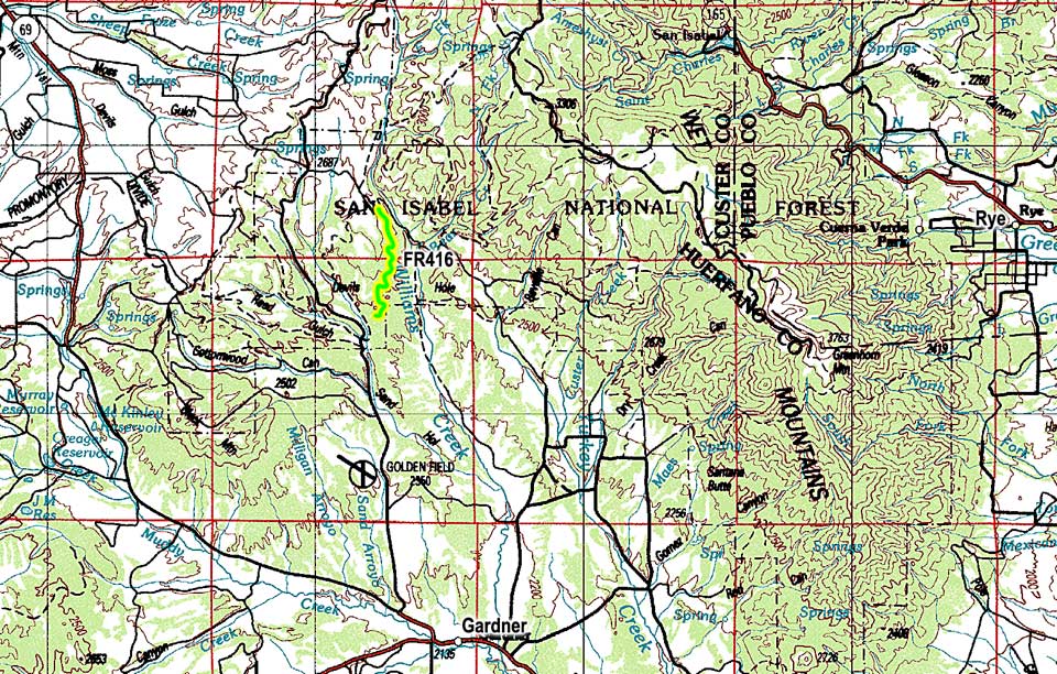
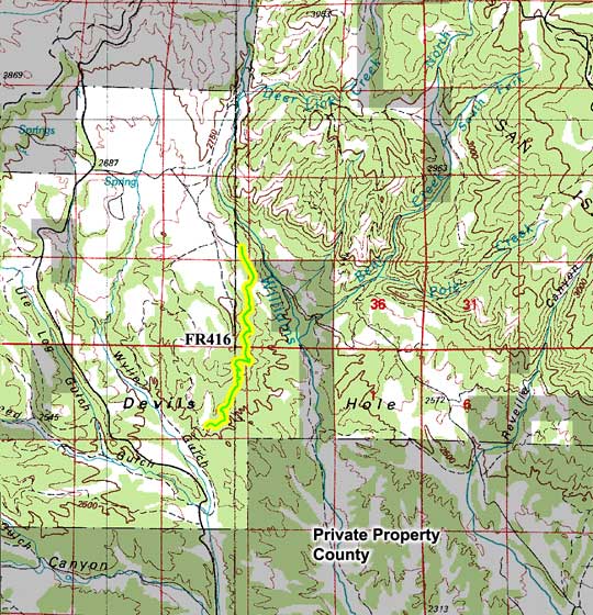
From Gardner, CO east on CO-69 S toward County Rd 545 and go 1.1 miles. Turn left onto County Rd 630 and go 13.8 miles. Turn left onto FR416.
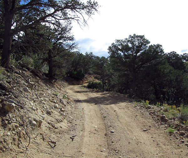 |
Start of Devils Hole from Wylie Gulch. Connects to FR416. Photo by: Adam M |
|---|
The road is a two track that winds through the forest along a broad ridge. It gets narrow through the trees in some sections. In 2015 it had recently been maintained.
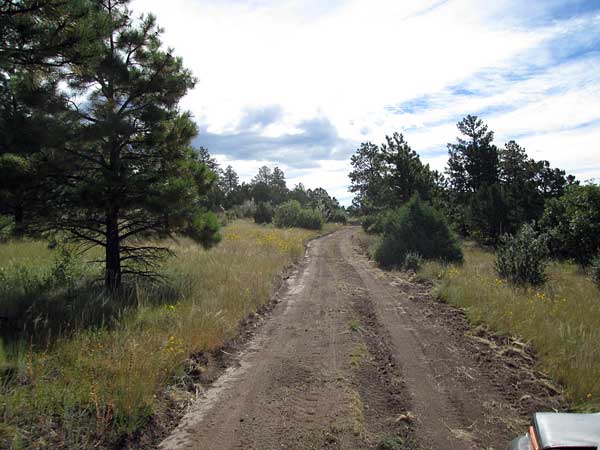 |
Recently bladed Photo by: Adam M |
|---|
At a point where the road does a switchback to the north there will be a short spur road, FR415.A, that goes to an fairly flat opening that could be used as a campsite.
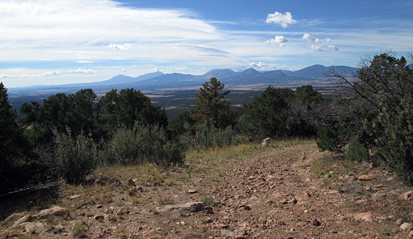 |
View from spur road Photo by: Adam M |
|---|
From the spur road you will head north through some dense forest. In about a half mile the road will run along a steeper forested section with a few views down into the Williams Creek drainage.
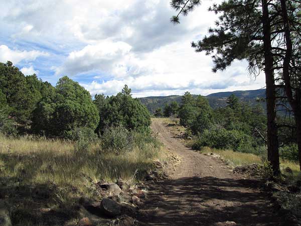 |
Road past spur Photo by: Adam M |
|---|
Once past the side hill section the road will continue to follow the side of the ridge, but the terrain will be flatter.
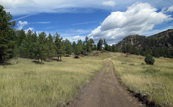 |
Coming to the connection with Williams Creek road Photo by: Adam M |
|---|
There will be some small meadows that you cross before connecting with the Williams Creek, FR630, road.