

| Difficulty: | Number: | Miles: | Altitude: | Obstacles: | Time: |
|---|---|---|---|---|---|
| Moderate 7 | FR761, Cnty15C | 7.60 | 9,480 to 11,928 ft. | Rocks - 3 | 3-4 hours |
Pitkin County
530 E. Main St. 3rd Floor, Aspen, CO 81611
(970)920-5200
Closure:
August - Best
September - Best
October - Early snows may close the pass
From Gunnison, CO head north on Colorado-135/North Main Street. Continue to follow Colorado-135 for 10.2 miles. Turn right onto County Rd 742 in Almont, CO. Go 40.4 miles, following the Taylor River and passing Taylor Reservoir. Turn right onto Forest Service road FR 761, the Taylor Pass road.
From Buena Vista, CO head west on County Rd 306. Go 19.2 miles crossing Cottonwood Pass. Continue onto County Rd 209, the west side of Cottonwood Pass, for 13.6 miles. Turn right onto County Rd 742 and go 15.3 miles. Turn right onto Forest Service road FR761, the Taylor Pass road.
In 1880 Stevens and Company, owned by H. B. Gillespie built a wagon road over the pass and started a stage route. In 1881 telegraph lines crossed the pass. By the 1890s the pass was hardly used. In 1901 there was an idea of building a railroad over the pass with a tunnel near the top, but it never got started. In 1969 the Taylor Pass road was improved, though today it is very rough on the south side.
Helmuth, Ed and Gloria. The Passes of Colorado Boulder, Colorado: Pruett, 1994. Print.
 |
Lower section, north side photo by: Adam M |
|---|
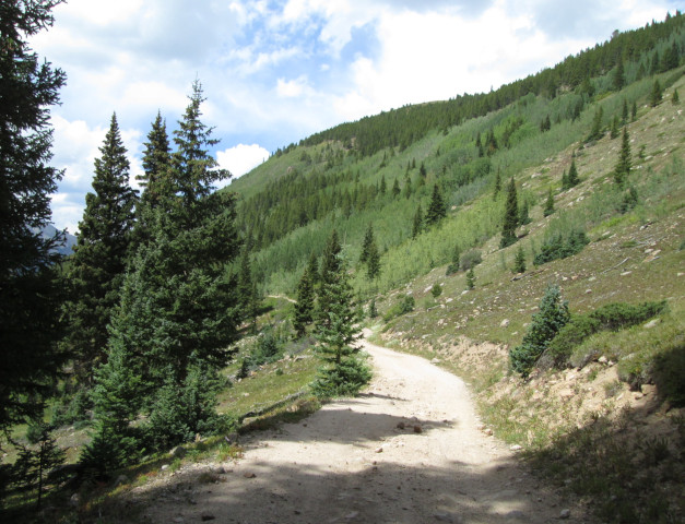
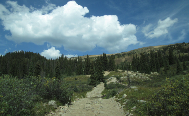
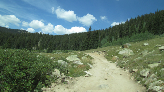
You will continue to climb passing some avalanche chutes and going through more groves of aspen. In the fall Taylor Pass is a great place to view the aspen trees as they turn golden.
 |
Upper section, north side photo by: Adam M |
|---|
 |
Looking back to the north photo by: Adam M |
|---|
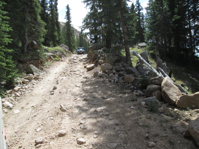
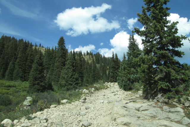
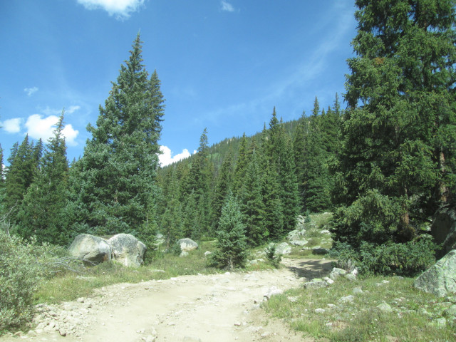
As you continue up along the side of Ashcroft Mountain above Express Creek you will pass a road on the right that goes to the Markley Hut. Continue to the left climbing higher above Express Creek. As you climb through the forest there will be a few steep sections.
 |
Steep section photo by: Adam M |
|---|
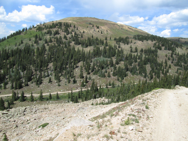
When you approach timberline the road will nead northeast and climb a rougher section with ruts and large rocks. This is the head of the valley and to your right will be a long ridge and Taylor Pass.
 |
Head of Express Creek, north side photo by: Adam M |
|---|
After making the switchback you will be driving on a ledge road that climbs up to an open parking area which is Taylor Pass.
 |
Ledge section, north side photo by: Adam M |
|---|
 |
Looking back down toward the switchback photo by: Adam M |
|---|
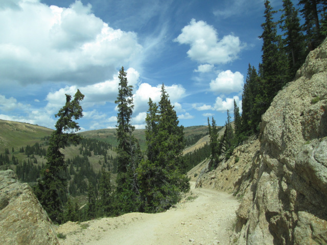
As you climb up the ledge road you will come to a narrow section where the road goes through a notch in a rock outcrop.
 |
Looking back at the rock outcrop photo by: Adam M |
|---|
 |
From Taylor Pass with Taylor Lake and Taylor Park below. photo by: Adam M |
|---|
From here you will have views of Taylor Park to the south and the Maroon Bells to the north.
 |
Maroon Bells from the pass. photo by: Adam M |
|---|
 |
Maroon Bells from the pass. First snows. photo by: Adam M |
|---|
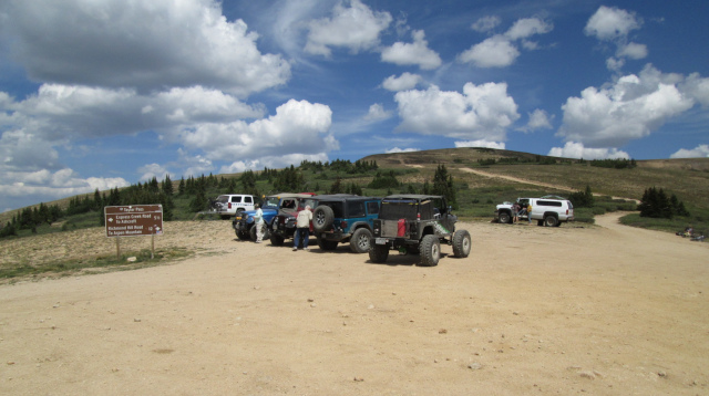 |
Top of Taylor Pass photo by: Adam M |
|---|
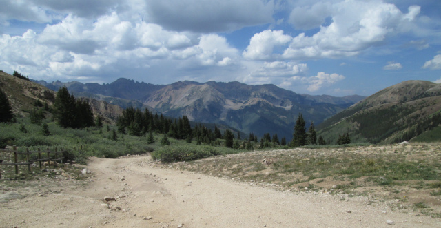
From the pass the road to the northeast is Difficult Pass, FR761.1A, and Richmond Hill, CR15E. The road to the west along the ridge is Taylor River Head, FR761.1D, which goes 4.82 miles to a mine tailing. Head down into the valley to the south on FR761 where Taylor lake is. You will progress much slower now as the road is made of large boulders and rocks. There will be spots where multiple routes exist. Try to stay on the main road. The road is now following the edge of the Collegiate Peaks Wilderness which is on your left and you head down. Past Taylor Lake the road will wind through open areas and drop down small hills.
 |
Looking back toward Taylor Lake photo by: Adam M |
|---|
 |
Rocky section photo by: Adam M |
|---|
 |
Another open area, looking back up to the pass photo by: Adam M |
|---|
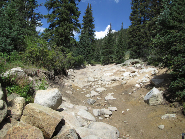
After about a mile and a half from Taylor Lake you will come to the main obstacle on the Taylor Pass road.
 |
Main obstacle, south side, 2012 photo by: Adam M |
|---|
It is a drop off down to the creek that has large boulders embeded in it. There are a few different routes to take. The best one will depend on your vehicle and abilities.
 |
Below main obstacle, 2012 photo by: Larry M |
|---|
 |
Main obstacle going up in 2018 photo by: Adam M |
|---|
 |
Main obstacle going up in 2024 photo by: Adam M |
|---|
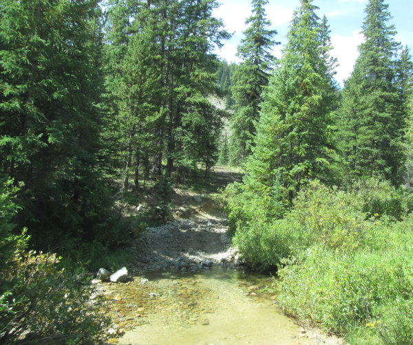
As of 2024 the drop off into the creek has been eroded back and is not as difficult as it once was. Once down in the creek you will follow it, or in reality the creek flows down the road, for about a half mile before you get on dry land again. The road will cross the creek a few more times as you head down.
 |
A creek crossing photo by: Adam M |
|---|
The road will head down through the forest passing through some open areas again.
 |
Looking back up toward Taylor Pass photo by: Adam M |
|---|
Next you will head into aspens from the pines and the road will become more of a ledge road as it follows the creek.
 |
Through the aspen photo by: Adam M |
|---|
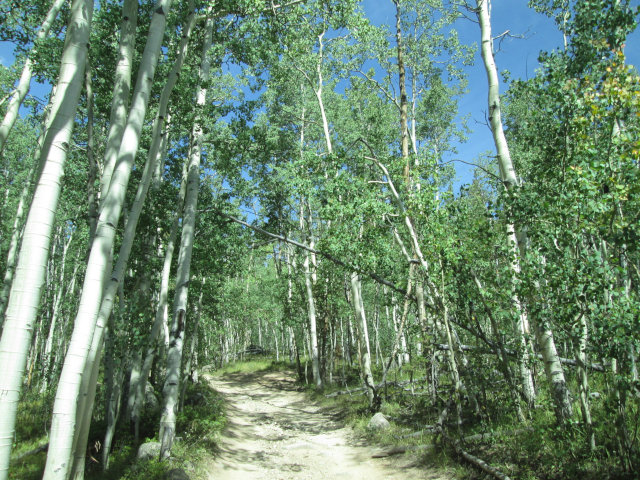 |
More aspen lower down photo by: Adam M |
|---|
Along this section are a few drop offs and rocky sections that are more of a challenge going up. There will be some dispersed campsites along the road as it drops down another mile or so to tie in with the Taylor River road, FR742, a graded road that runs down to Taylor Park Reservoir.