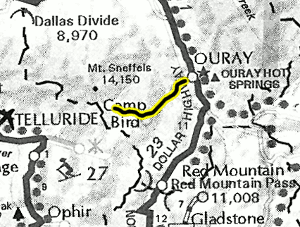
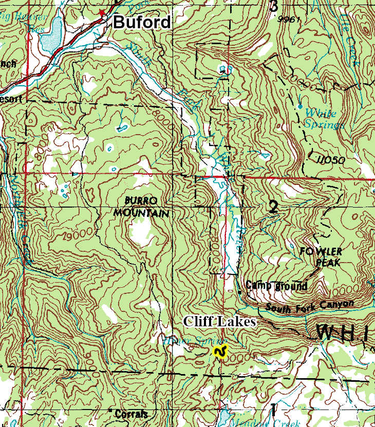
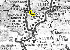
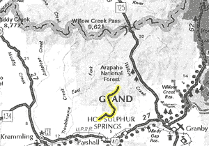
Maps:


GPS Files:
Date Driven: 08/11/15

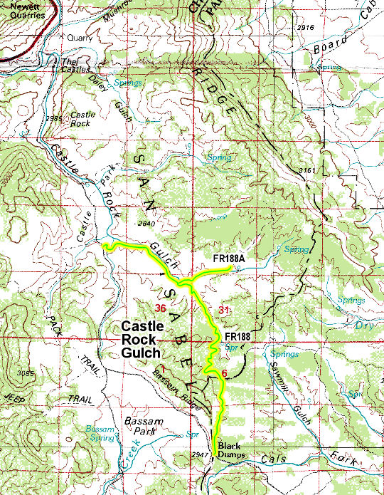
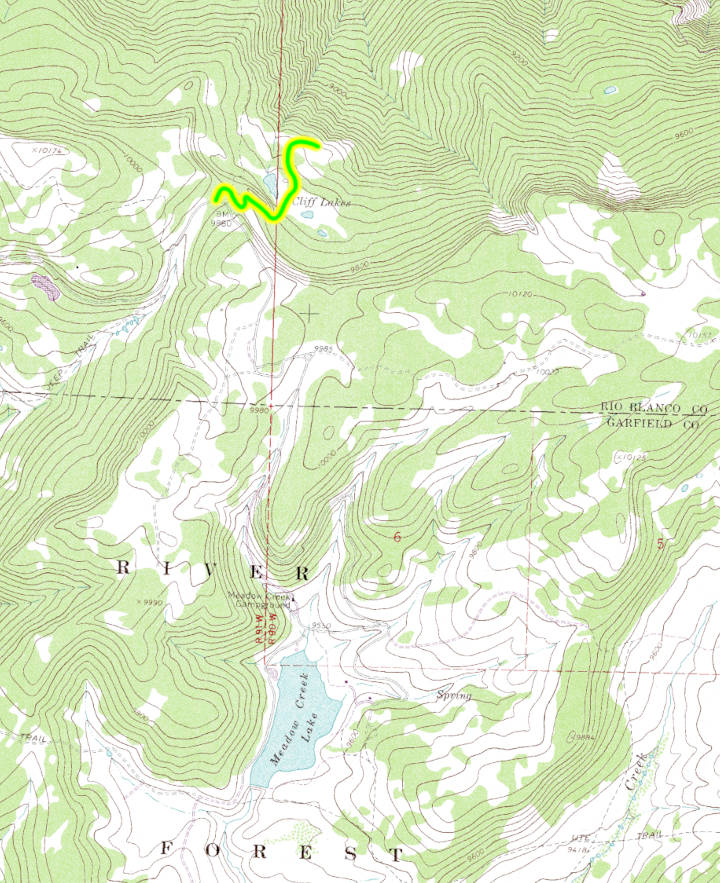
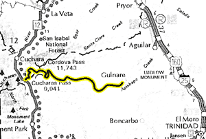
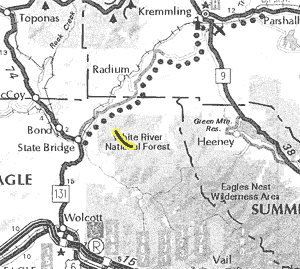
Maps:


GPS Files:
Date Driven: 07/22/20
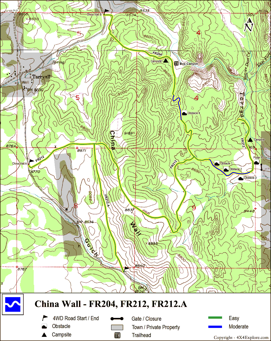
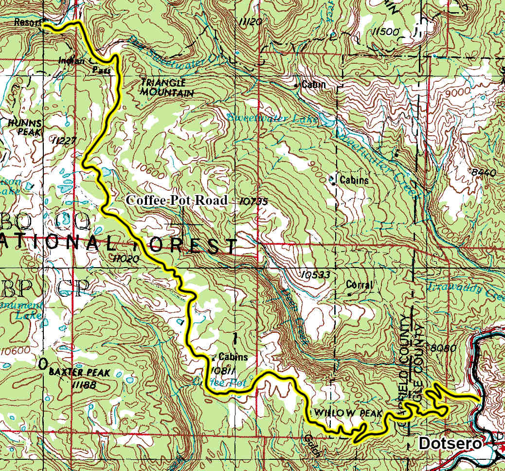
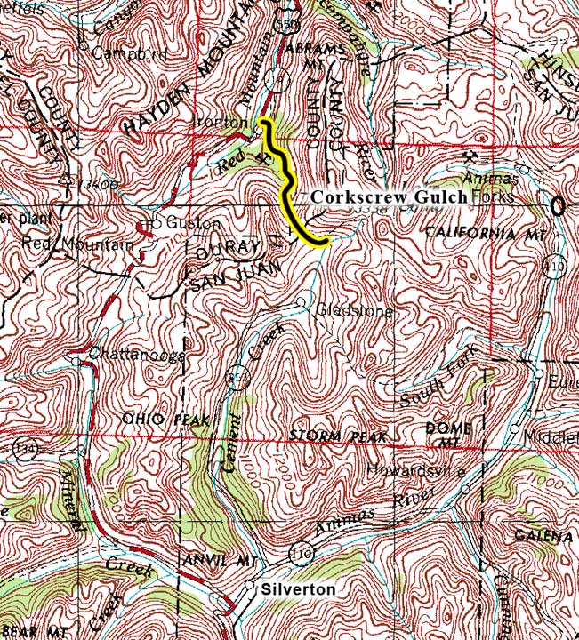
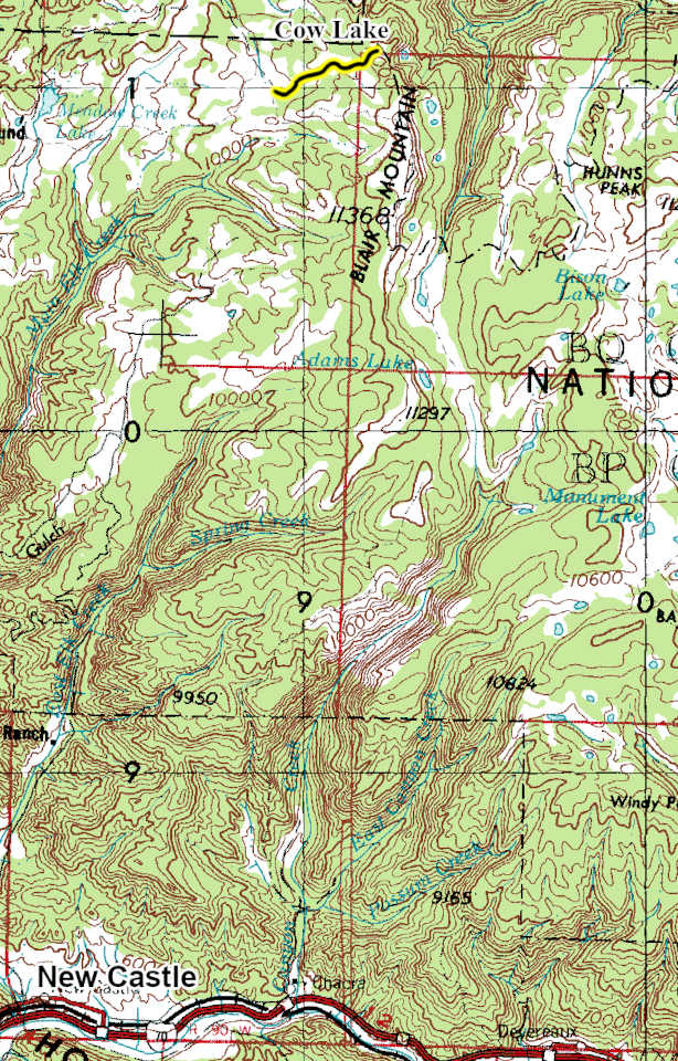
Maps:


GPS Files:
Date Driven: 07/20/14

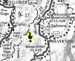
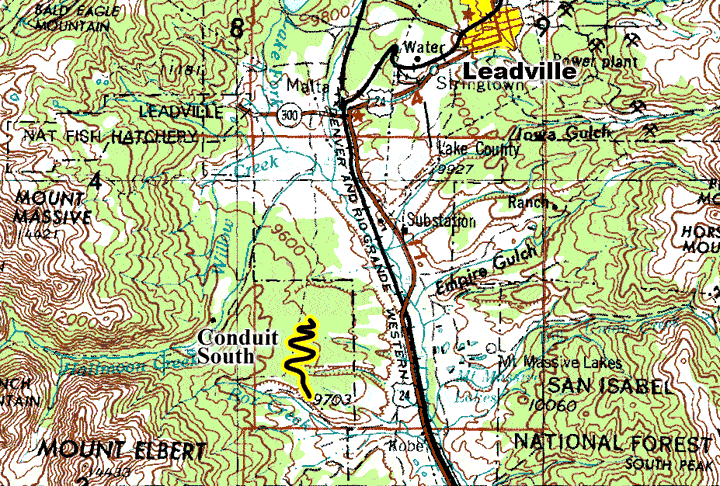
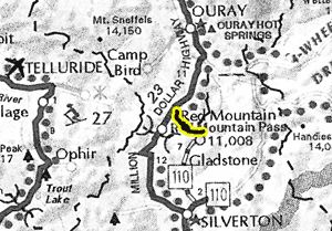
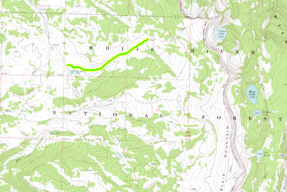
Maps:


GPS Files:
Date Driven: 09/03/19

Maps:


GPS Files:
Date Driven: 09/07/10

Maps:


GPS Files:
Date Driven: 07/06/19

Maps:


GPS Files:
Date Driven: 07/10/08

Maps:


GPS Files:
Date Driven: 05/07/10
Maps:

GPS Files:
Date Driven: 09/03/17

Maps:


GPS Files:
Date Driven: 07/26/10

Maps:


GPS Files:
Date Driven: 09/05/16

Maps:


GPS Files:
Date Driven: 07/03/03

Maps:


GPS Files:
Date Driven: 09/02/19

Maps:


GPS Files:
Date Driven: 09/02/19

Maps:


GPS Files:
Date Driven: 09/06/22

Maps:


GPS Files:
Date Driven: 09/03/11

Maps:


GPS Files:
Date Driven: 07/22/21

Maps:


GPS Files:
Date Driven: Not yet

Maps:


GPS Files:
Date Driven: 09/03/17

Maps:


GPS Files:
Date Driven: 07/03/03

Maps:


GPS Files:
Date Driven: 07/26/10

Maps:
GPS Files:
Date Driven: 08/09/15
Maps:
GPS Files:
Date Driven: 07/28/25

Maps:


GPS Files:
Date Driven: 09/05/11

Maps:
GPS Files:
Date Driven: 07/29/25

Maps:

GPS Files:
Date Driven: Not yet

Maps:
GPS Files:
Date Driven: 09/07/20

Maps:


GPS Files:
Date Driven: 06/28/14

Maps:


GPS Files:
Date Driven: 09/06/20
Maps:


GPS Files:
Date Driven: 09/05/14
Maps:

GPS Files:
Date Driven: 08/11/15
(Cabin Creek Divide)
Maps:


GPS Files:
Date Driven: 09/02/13
Maps:


GPS Files:
Date Driven: 08/31/13

Maps:


GPS Files:
Date Driven: 08/31/13
Maps:


GPS Files:
Date Driven: 08/31/13

Maps:
GPS Files:
Date Driven: 07/28/25

Maps:


GPS Files:
Date Driven: 07/23/23

Maps:


GPS Files:
Date Driven: 08/03/22

Maps:


GPS Files:
Date Driven: 09/03/22
Maps:


GPS Files:
Date Driven: 09/05/21

Maps:


GPS Files:
Date Driven: 07/19/15

Maps:


GPS Files:
Date Driven: 07/20/21

Maps:


GPS Files:
Date Driven: 07/23/15

Maps:

GPS Files:
Date Driven: 08/20/09

Maps:


GPS Files:
Date Driven: 06/12/10

Maps:


GPS Files:
Date Driven: 09/04/17
