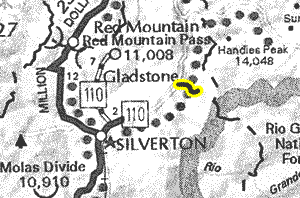
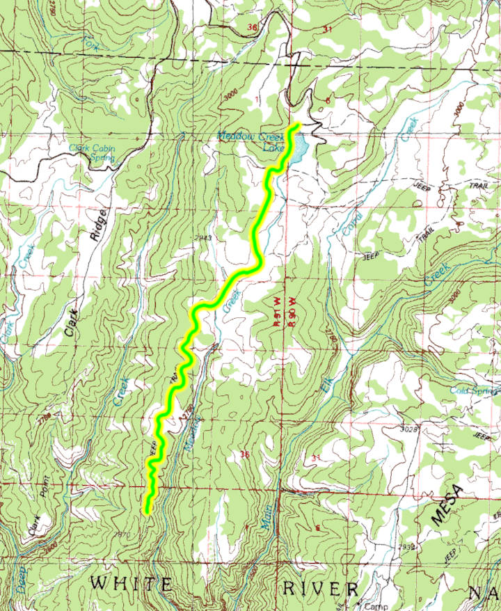
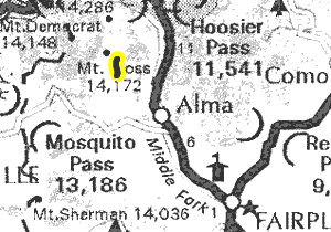
Maps:


GPS Files:
Date Driven: 09/02/91
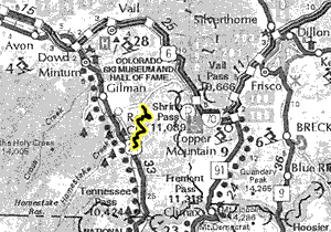
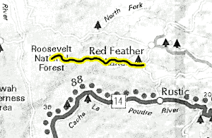
Maps:


GPS Files:
Date Driven: 09/04/17

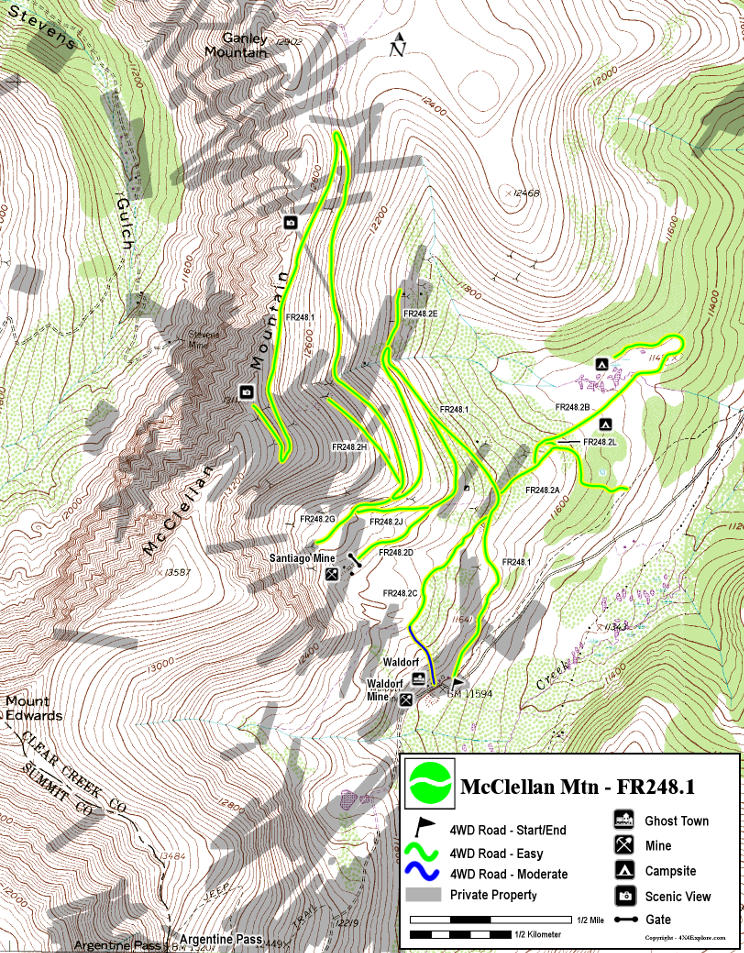
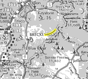
Maps:


GPS Files:
Date Driven: 07/28/10

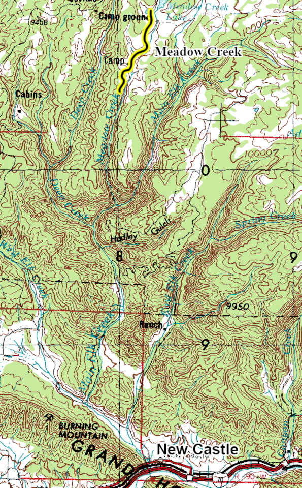
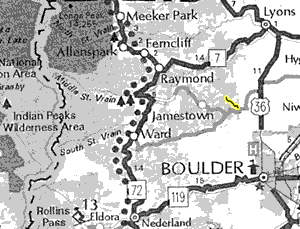
Maps:

GPS Files:
Date Driven: 07/24/14
Maps:

GPS Files:
Date Driven: 07/10/05

Maps:


GPS Files:
Date Driven: 09/01/14

Maps:


GPS Files:
Date Driven: 09/01/18

Maps:


GPS Files:
Date Driven: 07/01/06

Maps:
GPS Files:
Date Driven: 07/28/25

Maps:


GPS Files:
Date Driven: 09/06/15

Maps:


GPS Files:
Date Driven: 07/28/25

Maps:


GPS Files:
Date Driven: 09/05/15

Maps:


GPS Files:
Date Driven: 09/03/23

Maps:


GPS Files:
Date Driven: 09/06/16

Maps:


GPS Files:
Date Driven: 09/01/19

Maps:


GPS Files:
Date Driven: 09/04/23

Maps:


GPS Files:
Date Driven: 09/02/23
Maps:


GPS Files:
Date Driven: 09/05/21

Maps:


GPS Files:
Date Driven: 09/05/10
Maps:

GPS Files:
Date Driven: 06/28/14

Maps:


GPS Files:
Date Driven: 06/11/16

Maps:


GPS Files:
Date Driven: 08/09/15

Maps:


GPS Files:
Date Driven: 07/19/11

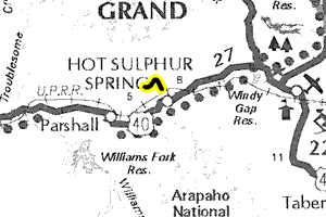
Maps:


GPS Files:
Date Driven: 09/02/91

Maps:


GPS Files:
Date Driven: 06/08/10

Maps:


GPS Files:
Date Driven: 07/23/2023

Maps:


GPS Files:
Date Driven: 08/06/05

(Lynx Pass)
Maps:


GPS Files:
Date Driven: 09/01/13

Maps:


GPS Files:
Date Driven: 07/25/04

Maps:


GPS Files:
Date Driven: 08/31/24

Maps:


GPS Files:
Date Driven: 10/23/10
Maps:


GPS Files:
Date Driven: 06/24/10

Maps:


GPS Files:
Date Driven: 09/23/21

Maps:


GPS Files:
Date Driven: 09/07/21
Maps:


GPS Files:
Date Driven: 09/05/22
Maps:


GPS Files:
Date Driven: 07/22/14

Maps:


GPS Files:
Date Driven: 09/05/20

Maps:


GPS Files:
Date Driven: 07/18/99

Maps:


GPS Files:
Date Driven: 09/03/10
